

Figure 1: One of eight microsatellites that comprise the Cyclone Global Navigation Satellite System (CYGNSS), which can be used for tropical cyclone research. (Source: NASA JPL)
While accurate forecasting of tropical cyclone intensity is inherently challenging, it is of high interest to society. Intensity predictions can be used to categorize a hurricane on the Saffir-Simpson Hurricane Wind Scale and prompt decision makers to issue storm warnings in a timely manner to protect lives and infrastructure. But with model biases, subjectivity, and limitations in analyses like the Dvorak Technique, Advanced Dvorak Technique, and ASCAT, how on Earth do meteorologists determine the intensity of a hurricane? Perhaps from space? (pun intended)
Microsatellites in low Earth orbit, which are only about the size of a microwave oven, offer an innovative and promising perspective for improving tropical cyclone intensity predictions. Researchers at NASA and the University of Michigan designed the Cyclone Global Navigation Satellite System, or CYGNSS. This eight microsatellite constellation, launched in December 2016, orbits the tropics at approximately 510km above the equator. Fig. 3 shows how the microsatellites deploy. Unlike traditional instruments such as the GOES Infrared Radiation and Visible products, CYGNSS detects reflected GPS signals which have L-band frequency. This long wavelength (~7.5 inches) is unobstructed by precipitation and atmospheric particles, meaning that CYGNSS can determine surface level sea roughness (which correlates to surface wind speeds) even within the most intense convection region of a hurricane: the eyewall. Surprisingly, CYGNSS is a passive satellite fleet. The GPS signal actually originates form GPS satellites in higher orbit, which are operated by the United States Air Force. Additionally, with an orbit period of only 95 minutes, each microsatellite passes within 12 minutes of the previous one. According to the mission’s Primary Investigator, Dr. Christopher Ruf, the data collected from CYGNSS is analogous to “a fleet of Hurricane Hunter airplanes distributed everywhere in the tropics.”

Figure 2: Comparison of tropical cyclone measurements from Advanced Dvorak Technique, CYGNSS, and a combination of products. When used in combination with other products, CYGNSS improves the overall model predictions. (Source: AGU Geophysical Research Letters)
In a paper published by AGU’s Geophysical Research Letters, when CYGNSS data from 2017 was combined with other tropical cyclone intensity prediction methods for hurricanes Irma and Harvey, the overall predictions improved. Fig. 2 shows wind speed and vector comparisons by the Advanced Dvorak Technique, CYGNSS, and a combination of methods, as well as surface latent heat flux. Since CYGNSS has only been in operation since 2017, researchers are still exploring and improving the applications of this small but mighty microsatellite fleet’s capabilities to improve tropical cyclone intensity forecasting.
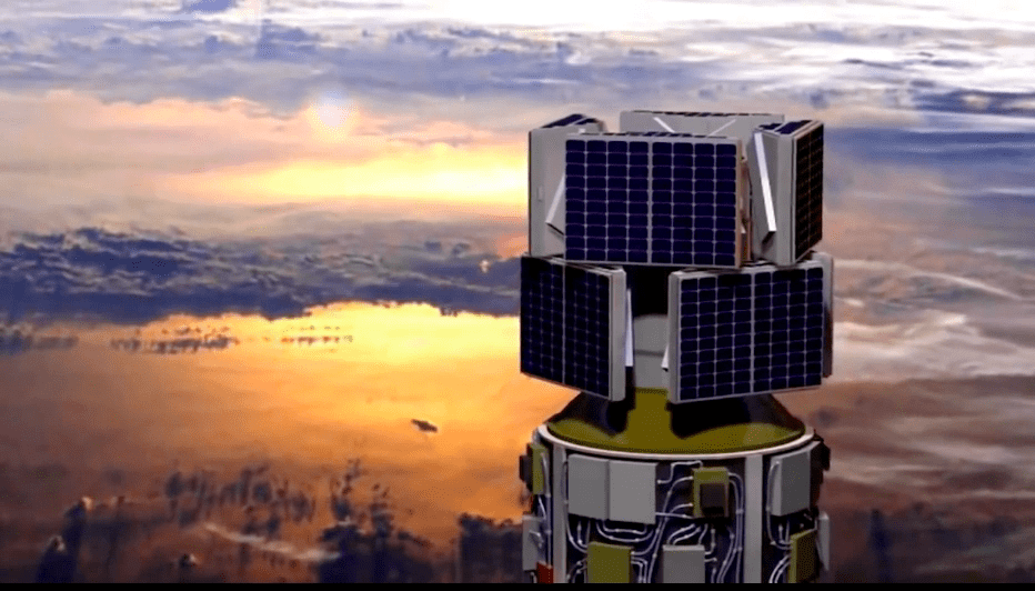
Figure 3: Click the video to view how the eight microsatellites of CYGNSS deploy in low Earth orbit (Source: NASA)
Sources:
https://www.nasa.gov/feature/jpl/nasa-smallsats-can-aid-hurricane-forecasts-with-gps
https://agupubs.onlinelibrary.wiley.com/doi/full/10.1029/2019GL082236
https://podaac.jpl.nasa.gov/CYGNSS
https://www.nasa.gov/cygnss/overview
“Weather: A Concise Introduction” by Gregory Hakim and Jérôme Patoux